The Great Exhibition of 1851 in Hyde Park was a national triumph. In its ground-breaking glass and iron pavilion – the ‘Crystal Palace’ – it showcased Britain’s arts and crafts and attracted millions of visitors. But in October it closed, and the building stood empty with no clear future.
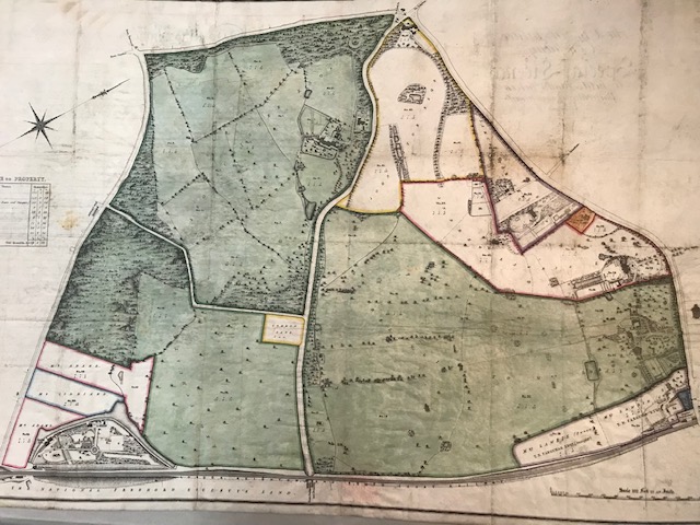
Enter the Crystal Palace Company, created in the spring of 1852 to buy the building, dismantle it, and re-build it as a permanent attraction on a new site. The site they chose was here in Penge, and they drew up this map to show the land they intended to buy.

The map therefore illustrates a new initiative, a forward-looking project which would dominate Penge for decades to come. But inadvertently, it also opens a poignant window on Penge’s past.
Look closely and you will see a small white rectangle in the middle. Look even more closely and you will see that it is labelled ‘Common Land’. This is the last surviving fragment of Penge Common, an expanse of woodland and rough pasture which for centuries dominated the local area from Crystal Palace Parade down to Kent House, and from the boundary with Croydon across to the boundary with Beckenham.
The Common was ‘enclosed’ – that is to say, privatised – by Act of Parliament in the 1820s. It was divided into plots and sold off. By the 1830s it was gone, Penge was criss-crossed with new roads, and houses were going up.
In which case, what is this rectangle of ‘Common Land’ doing on a map made some years later in 1851? The answer is rather prosaic: it was a gravel pit, intended for the upkeep of Penge’s new roads. All landowners had a shared duty to maintain the roads, so the gravel pit was excluded from privatisation and maintained as a last, rather sad, fragment of ‘Common Land’.
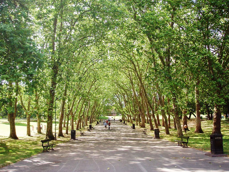
Whereabouts would this ‘Command Land’ be in the present park? Most likely near to where the playground is, just off the tree-lined avenue (see photo* at the top of the post) leading from Penge Gate.
*Photo by Ewan Munro on Flickr


Comments
2 responses to “The Crystal Palace and the Last of Penge Common”
When was second crystal Palace come down?
Hi Kelvin, the Crystal Palace burnt down on 30 November 1936. There’s lots of info online about it, but a good place to start is here https://www.historyextra.com/period/modern/the-crystal-palace-was-constructed-of-iron-and-glass-so-how-and-why-did-it-burn-down/